Seeing Meadows Anew: Community Mapping of Wildflower Colors

Step into a living spectrum where neighbors, hikers, classrooms, and park stewards collaborate through citizen science missions cataloging wildflower colors for biodiversity maps. With each photo, note, and shared observation, petals become data points guiding pollinator protection, habitat restoration, and climate readiness. Today we celebrate practical methods, heartfelt stories, and open tools that transform simple walks into meaningful contributions for science and community.

Why Color Matters in the Wild

Colors are not decoration; they are ecological messages broadcasting timing, attraction, and stress. When volunteers consistently document shades across landscapes, researchers can infer pollinator availability, soil conditions, and shifting seasons with surprising precision. Shared color records help distinguish native blooms from invasive lookalikes, reveal corridors used by butterflies, and support regional seed mix planning. By grounding observations in trustworthy hues, communities turn aesthetic appreciation into actionable knowledge that guides conservation funding, adaptive management, and classroom discovery.

Pollinator Signals Hidden in Petals

Bees, butterflies, and birds read flowers the way we read signs, interpreting ultraviolet patterns, saturation, and contrast to find nectar efficiently. When large groups log dominant hues and subtle patterns, we can correlate visitation rates, identify mismatches emerging under warming climates, and support planting guides that actually feed local pollinators throughout changing seasons.

Reading Seasonal Change Through Hues

Petal colors often shift with temperature, nutrients, and age, providing natural indicators of phenological stages like budding, peak bloom, and senescence. Aggregated photos timestamped across regions reveal advancing springs, drought stress, and late frosts. These color timelines complement herbarium records, improving forecasts for allergy seasons, agricultural planning, and wildlife lifecycles dependent on synchronized flowering windows.

Conservation Decisions Informed by Palettes

Land managers juggle limited budgets and urgent priorities. A crowd-sourced palette map highlights uncommon color expressions, fragmented populations, and encroaching invasives masquerading as familiar tones. By layering hues with soils, trails, and development footprints, decision-makers prioritize protection, schedule targeted surveys, and guide volunteers toward sites where every additional observation truly shifts understanding.

Field Methods for Reliable Color Capture

Great data begins before the shutter clicks. Reliable wildflower colors require thoughtful choices about light, angles, and context. Overcast skies reduce glare, midday shadows distort tones, and mixed lighting confuses sensors. Simple practices—steady framing, neutral backgrounds, and avoiding heavy filters—raise scientific value dramatically. Add a quick scale object, note petal side versus throat, and capture surrounding foliage. These small habits let community contributions integrate seamlessly with expert datasets while staying fun, fast, and creative for every age.

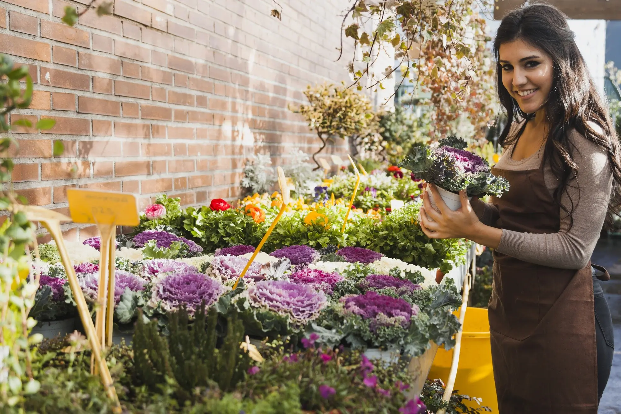
Natural Light, White Balance, and Shade Choices

Color accuracy thrives under even illumination. Stand with the sun behind your shoulder, step into open shade when highlights blow out, and lock white balance to avoid camera auto-shifts between shots. If your phone allows RAW or flat profiles, use them. Consistency across photos makes downstream comparisons, clustering, and classification more robust and less biased by fleeting conditions.

Using Color Cards and Simple Calibration

A pocket gray card or printed color checker placed near the bloom provides an anchor for later correction. One second beside the petals helps software normalize exposure and tint across batches. Even a clean white paper scrap beats guessing. Calibrated sets enable volunteers in different regions and devices to produce comparable palettes, reducing noise and boosting confidence in resulting biodiversity maps.

Geotags, Dates, and Habitat Notes that Matter

Colors without context cannot tell the whole story. Enable precise location, confirm date and time, and add short natural-language notes about slope, canopy cover, moisture, and neighboring species. Photograph a wider scene after the close-up. These lightweight details unlock powerful analyses about microhabitats, elevational gradients, and urban heat islands, making every observation multiply useful across projects.

From Meadow to Map: Data Pipelines

Transformative maps emerge when scattered snapshots become structured observations. Clear metadata fields, controlled vocabularies, and transparent processing ensure durability and reuse. Photos feed color extraction pipelines that summarize dominant hues while preserving nuance. Automated flags catch blurry images yet welcome learning curves. When contributions flow into open repositories like iNaturalist, GBIF, or local herbaria portals, researchers can merge color layers with range maps, climate normals, and land use, revealing patterns otherwise invisible on solitary screens.

Turning Photos into Comparable Color Data

After upload, algorithms sample pixels from petals, bracts, and throats, translating them into standardized spaces like sRGB and CIELAB. Quantization and clustering reduce complexity while retaining distinguishing accents. Human review corrects mis-segmented leaves. Publishing representative swatches with confidence intervals helps others interpret uncertainty, reproduce analyses, and trace how raw imagery became ecological signals ready for mapping.

Quality Control Without Crushing Enthusiasm

Early experiences shape whether newcomers return tomorrow. Gentle prompts request sharper angles, suggest better light, or invite a recheck on identification. Community validators offer gratitude first, corrections second. Leaderboards that reward care, not volume, elevate standards. Transparent moderation policies, visible edit histories, and timely feedback create trust while protecting the scientific integrity that makes partnerships with agencies and universities possible.

Open Platforms, Shared Standards, Wider Impact

Interoperability multiplies value. When project tags, licenses, species lists, and color fields follow shared standards, data can travel across platforms with minimal friction. Creative Commons licensing enables educators, restoration planners, and artists to reuse outputs. APIs allow developers to build classroom dashboards or trailhead kiosks, turning a weekend bloom walk into region-wide insights others can build upon.

Community Stories from the Trail

Behind every dot on a map stands a person, a place, and a reason to care. Stories knit newcomers into a welcoming circle and remind veterans why persistence matters. We share accounts of windy ridgelines, crowded city lots, and quiet after-school parks where colors sparked questions, friendships, and new expertise. As you read, consider adding your own voice below, because your experience may become the nudge someone else needs to start exploring tomorrow.

A Classroom Meadow Walk That Changed a Semester

A ninth-grade science class expected a quick stroll and a few photos. Instead, students noticed how similar yellows separated into lemon, mustard, and amber under cloud breaks. They compared notes, debated identifications, and graphed frequencies. Weeks later, those data anchored a unit on pollination networks, culminating in a community night where families mapped backyard blooms and pledged pesticide-free spaces.

Grandparents, Smartphones, and a Blooming Bond

A grandparent recovering from surgery joined missions using a cane and curiosity. Short outings close to home produced careful, patient photos rich with notes about shade and soil. A grandchild managed uploads and tags. Together they spotted an early-blooming violet cluster that flagged an unusual microclimate near a retaining wall, inspiring neighbors to add native plantings for spring pollinators.

Ethics, Access, and Inclusivity Outdoors

Care for living places starts with humility and respect. Photography should never crush stems, trespass, or reveal sensitive coordinates for rare species. Clear guidance empowers everyone to act responsibly while retaining joy. Inclusive practices expand participation by removing barriers tied to gear, mobility, and language. When people feel safe, welcomed, and informed, projects grow stronger, data improves, and communities steward landscapes beyond the camera’s frame.

Leave No Trace Principles for Flower Photography

Stay on durable surfaces, avoid trampling cryptic seedlings, and keep pets leashed near fragile meadows. Skip baiting pollinators or moving blooms for angles. If a location feels vulnerable, photograph from farther back and crop later. Share generalized locations for sensitive finds. Modeling restraint protects the very beauty we hope to celebrate and ensures future volunteers encounter thriving habitats.

Respecting Indigenous Knowledge and Local Guidance

Many landscapes hold cultural meanings intertwined with seasonal flowers. Consult local tribes, communities, and rangers for protocols before organizing group outings. Use proper names and stories with permission. Avoid collecting without permits. Acknowledge knowledge holders in posts and datasets. Respect builds relationships that deepen understanding, correct mistakes faster, and open invitations to learn histories living alongside the petals we document.

Designing Missions Everyone Can Join, Comfortably

Offer multiple routes and durations, from flat paths to steeper loops, and provide clear transit options. Share packing lists, rest stops, and bathroom notes. Translate instructions, include visual guides, and welcome assistive technologies. Provide loaner color cards and battery packs. Flexible meeting times, childcare support, and gentle pacing widen the circle, raising both participation and the ecological quality of contributions.

Prepare Your Kit and Set Your Intentions

Gather a phone or camera, a pocket color card or white paper, a notebook, and a small ruler. Review safety notes, sun protection, and access permissions. Decide what questions you hope to answer, like early blooms or unusual tints. Clear intentions sharpen focus and create meaningful comparisons when you return next week.

Collect, Record, and Reflect in the Field

Begin with a habitat photo, then a close-up of the bloom, then a frame with the color card. Speak notes aloud for accessibility, capturing soil moisture, shade, and scent. Pause to compare nearby plants. Reflection strengthens memory, reduces duplicates, and often reveals patterns you would otherwise miss while hurrying from flower to flower.

Share Back, Compare Results, and Stay Connected

Upload to your chosen platform with open licensing, standardized tags, and location accuracy you are comfortable sharing. Compare your palette with regional entries and ask gentle questions. Celebrate first contributions loudly. Invite replies, schedule a follow‑up walk, and subscribe to updates here. Connection sustains curiosity, and returning eyes notice changes that single visits rarely reveal.